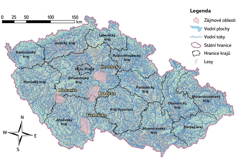
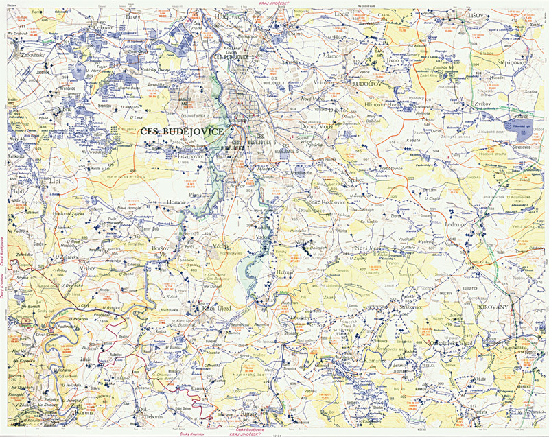
Bases and historical context of the planning process in the field of water
Water planning is a systematic conceptual activity which implements the requirements of the Water Framework Directive.
Ponds are an important and organic part of the landscape in the Czech Republic through ages. They are spread over most of the area of the republic and have different functions besides the one which is historically the most important – fish farming.
The article deals with the development of agriculture bare soil surface using the stereophotogrammetric method. It describes and compares the development of selected soil characteristics investigated on four types of field cultivation.
One part of the project “Strategy for protection against negative impacts of floods and erosion phenomena by naturefriendly measures in the Czech Republic“ was assessment of actual runoff conditions in the Czech Republic by runoff curve number method.
Article introduces presentation portal “Voda v krajině“ (www.vodavkrajine.cz) as an information source about natural water retention measures.
In this article results of analysis of future water withdrawals from water resources for public water supply systems are summarized.
Summary Flood risk of levee protected areas stems from the possibility of levee failure due to overtopping, breaching or uncontrolled seepage. In most cases, levee breaching leads to highest damages as such events occur suddenly and can hardly be forecasted. In this article, levee failure is referred to levee breaching only. Whenever levees break during… Read more »
The article shows the case of the best practice in the interdisciplinary management of the Spatial Data Set within River Network Section Model based on excellent cooperation of T. G. Masaryk Water Research Institute, p.r.i., with the Czech Office for Surveying, Mapping and Cadastre and the Czech Hydro-meteorological Institute.
The estimation of the extent of inundations is enabled by methods of physical and mathematical modelling which have been developing for many years. Increasing accuracy, related to precise measurements, demands higher computing capacity and more time.