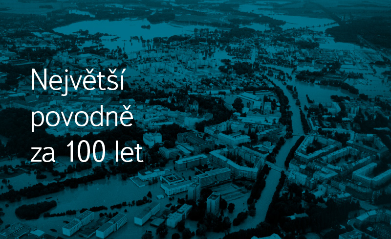
The biggest floods in 100 years
Tento příspěvek je komplikací největších povodní v České republice, které se udály za uplynulých sto let, a přináší popisy těchto jednotlivých katastrof.
 Čeština (Czech)
 English
Tento příspěvek je komplikací největších povodní v České republice, které se udály za uplynulých sto let, a přináší popisy těchto jednotlivých katastrof.
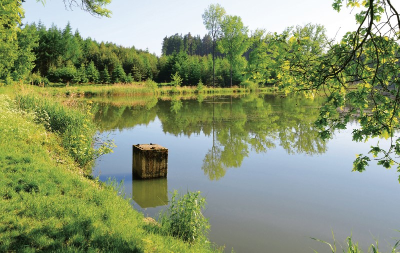
Evaporation from free water surface is one of the essential components of water circulation in nature and significantly affects the overall water balance of the catchment. Due to the complicated direct measurement, it is often calculated from formulas that require available meteorological variables as input data.
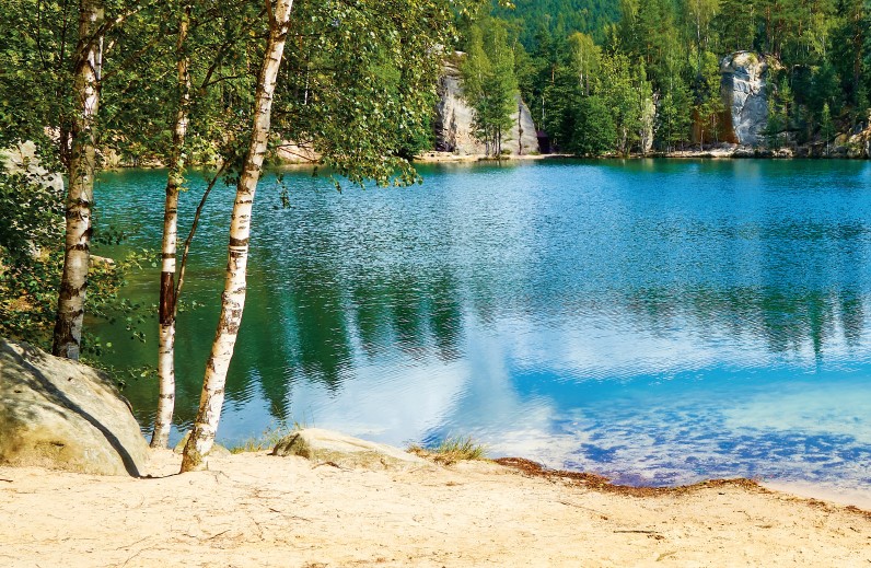
Evaporation from free water surface is one of the important factors affecting the total water balance of a catchment. Since direct measurement of evaporation is complicated, evaporation is in practice often calculated using formulas based on common meteorological variables.
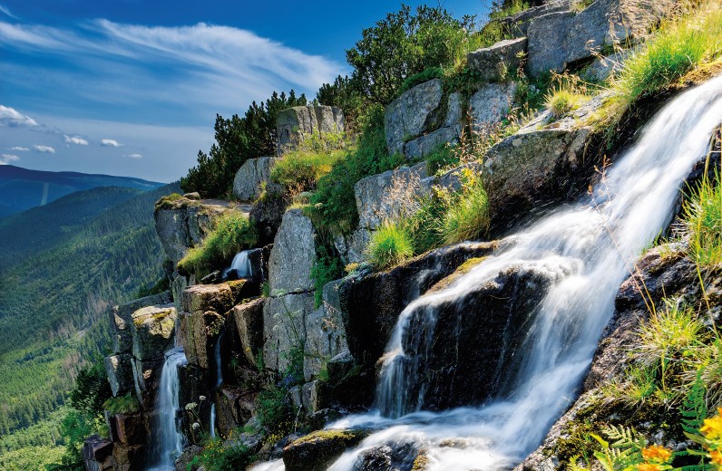
Příspěvek se zabývá dopadem technického zasněžování na vybrané toky na území Krkonoš z pohledu změn v průtocích, z hlediska interakce možného znečištění přírodního prostředí z toků a opačně, a rozdílů mezi přírodním sněhem a sněhem ležícím na sjezdovce.
Příspěvek se zabývá hydraulickým a statickým posouzením sektorového uzávěru v Děčíně a v Českém Krumlově na základě vyhodnocení experimentálních měření provedených na fyzikálním hydraulickém modelu ve vodohospodářské laboratoři Fakulty stavební ČVUT v Praze.
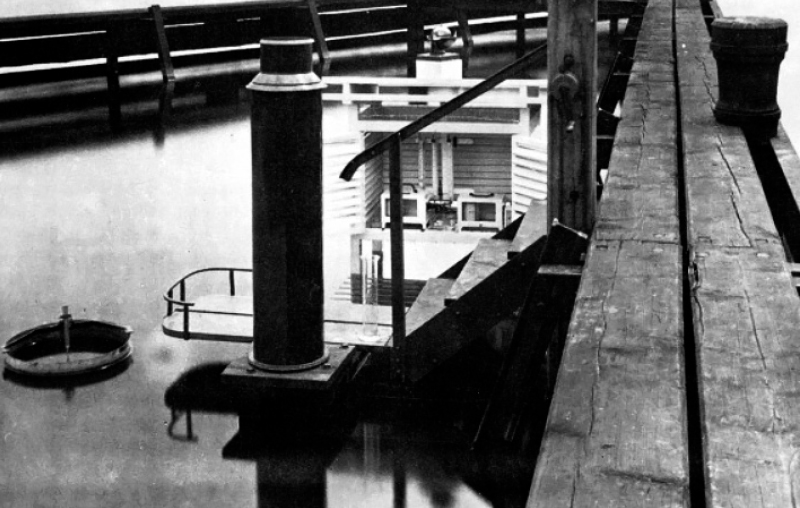
Výpar z volné hladiny je jedním ze základních prvků hydrologické bilance. Jeho průměrná hodnota se v průběhu let mění vlivem postupující klimatické změny, stejně jako je tomu u dalších prvků hydrologické bilance.
Příspěvek presentuje pokusy s umělým deštěm a stopovačem v Jizerských horách, které jsou nezbytné pro modelování svahu modelem MIPs (Multiple Interacting Pathways [1]). Jsou podrobně popsány pokusy na několika svazích v povodí Lužické Nisy v Jizerských horách a na jednom svahu na Šumavě.
Topografické údaje hrají klíčovou roli v otázce přesného hydrodynamického modelování povodňových událostí. Často je vyžadován přesný digitální model terénu (DMT), který obsahuje popis říční batymetrie. DMT může být získán z různých zdrojů dat, jako jsou pozemní měření nebo metody dálkového průzkumu země.
Obdobie rokov 2000 až 2015, je obdobím, v ktorom sme pozorovali výrazné rozdiely a extrémy v hydrologickom režime slovenských tokov. Slovenský hydrometeorologický ústav v rámci svojich úloh spracúva komplexné posúdenie hydrologických charakteristík so zameraním na hodnotenie sucha.
Článek popisuje metodu, zdrojová data i výsledky analýzy erozní ohroženosti podle nové metodiky využití dálkového průzkumu Země pro ochranu zemědělské půdy. Metoda je testována na pozemcích AGRA Řisuty, s. r. o. Pro zjištění přítomnosti vegetačního pokryvu na jednotlivých půdních blocích či jejich částech jsou využívána data z družic Landsat 8 a Sentinel 2.
Tato práce je zaměřena na zhodnocení kvality vody a antropogenního znečištění sedimentů ve starých ramenech Kozelská tůň a Vrť středního toku Labe. Stará říční ramena jsou významnými ekosystémy, ve kterých se může ukládat velké množství znečištěného materiálu. Tato kontaminace může pocházet z průmyslových zdrojů znečištění především z 2. pol. 20. století.
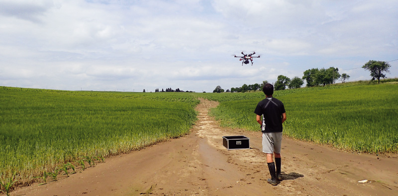
This article presents the first results of the research focused on the recording of rill erosion, and its evaluation using the outputs of the two methods that can be used to determine the soil yield. The consequences of erosion have been documented on a selected pilot site, both as a direct method of volume quantification (using an profile meter – so called soil erosion bridge) and with the use of unmanned aircraft in close-up photogrammetry (UAV).
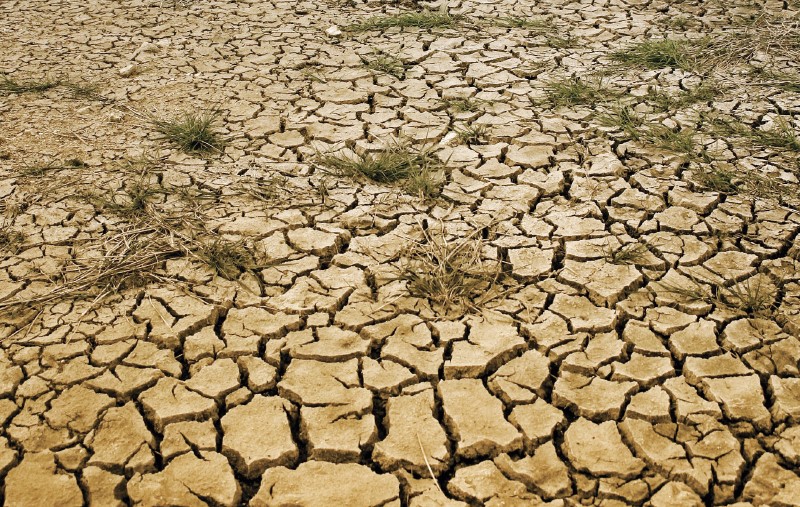
Increasing occurrence of drought periods in the Czech Republic has highlighted a necessity of legislation modification. At the same time, a need has emerged for tools supporting decision making and water resources management at various levels during the drought periods.
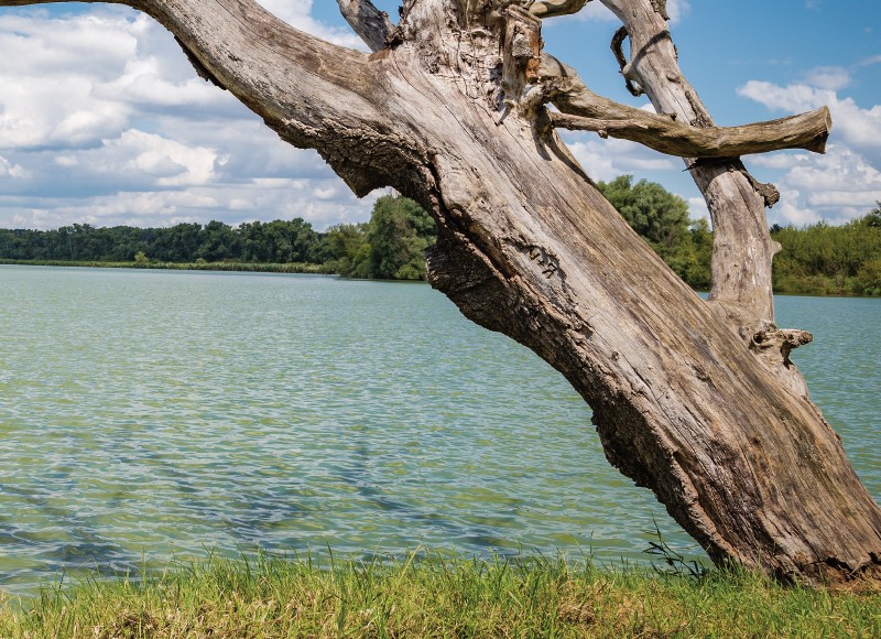
A catalogue of green water retention measures in landscape represents one of the results of long term project financed by the Ministry of Environment. The main goal of the catalogue was to summarize a set of measures with positive effects on water retention of landscape, with low impact on ecological status of water bodies.
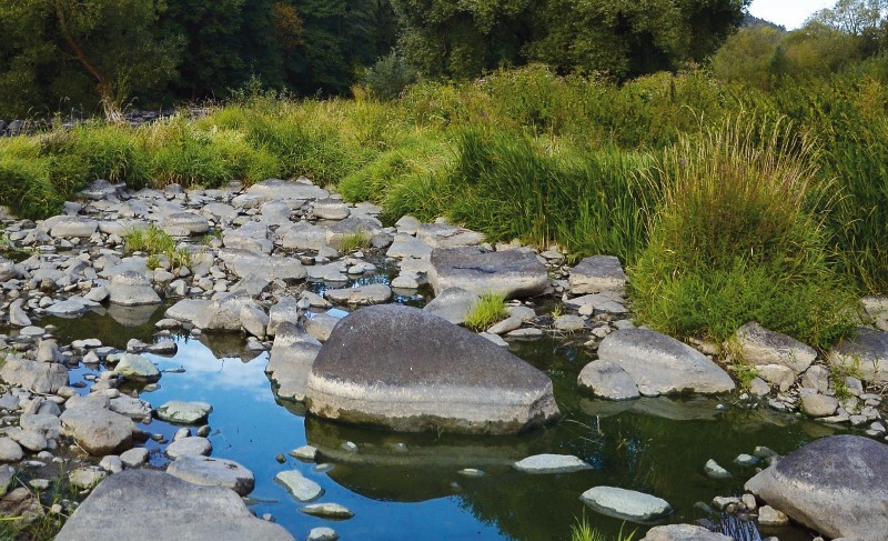
A catalogue of natural restoration measures was created within several research programs under Ministry of the Environment of the Czech Republic, especially in the program for hydrological draught mitigation. As a next step suitable catchments for their application were identified. With use of hydrological models, the effect of designed restoration measures on three aspects of hydrological regime was assessed.
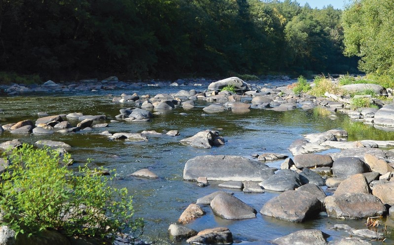
The Nitrate Directive defines rules for a delimitation of vulnerable zones and sets out tools to reduce nitrate pollution. The fundamental instrument is the Action Program and the Good Agricultural Practices [1].
The paper presents the draft of the plan for drought and water scarcity in the Czech Republic. The plan is a basic document of drought protection. It serves to coordinate activities in a given area during drought and water shortages.
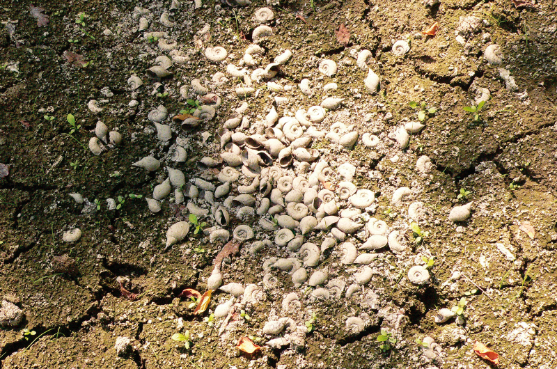
As part of the Drought project, a comprehensive monitoring of watercourses and land in their catchment areas was launched in the Czech Republic to assess the impact of the implementation of revitalization actions to protect against the effects of drought.
Past tests of nuclear weapons in the atmosphere, nuclear energy facilities and tritium of natural origin are main sources of tritium in the environment. Thanks to its presence in environment and its favourable properties, tritium is used as a radiotracer.
Mathematical models have been used in hydrology for decision making support for many years. They allow the realization of virtual experiments that can be done empirically either very difficult or not at all. The SWAT model, developed in the US, has gained world wide popularity but its application in the Czech Republic is quite rare yet.
The use of automatic samplers for detailed monitoring of substance concentrations and balance is nowadays an important part of special monitoring of surface waters. The average results of routine monitoring (consisting of point samples) are often underestimated over the real situation.
This article describes part of results of the project “QJ1520268 The new procedures of optimization systems integrated protection area in the context of their economic sustainability“. The aim is effectiveness assessment of the designed measures in the Litava basin in hydrological model created in software HEC-HMS (Hydrology Engineering center – Hydrologic modeling system).
Course of the weather in the last years shows that variability of the weather increases and this also leads to a higher frequency of floods, as well as drought. Drought, regardless of its type, means that there is a lack of water in landscape.
The Czech Republic does not sufficiently create the necessary conditions for the conceptual approach to urban drainage based on the principles of a sustainable development. The Ministry of Agriculture of the Czech Republic, responsible for the water management, ignores how much a strict implementation of a sustainable drainage system, especially the blue-green infrastructure, could positively impact urbanized areas’ adaptation to climate change.
The aim of the research is to examine attitudes and preferences of the Czechs for adaptation measures reducing impacts of floods and droughts. In spring 2016, we conducted a survey on a representative sample of the Czech population (3,666 respondents).
Based on existing phosphorus data series in the Slapy and Orlík reservoirs and their main tributaries, we reconstructed P inputs to the reservoirs from the catchment during 1961–2016 and compiled empirical models of P retention.
Odra River Alarm Modul (ORAM) will be part of the NAVAROSO project. There are no results of tracer studies of the Czech part of the Odra River in the last twenty years. That´s the reason, why tracer experiment data of the Svitava River were used for analysis.
Article is based on the amendment to Act no. 254/2001 Coll. pursuant to the wording of Act no. 150/2010 Coll., the Ministry of Environment has been charged with the task of drafting a Government regulation on the method and criteria for determining the minimum residual discharge values.
The aim of this paper is to present results of study, which was aimed to evaluate the efficiency of reservoir capacities for updated input data. The study has focused on review of storage capacity, reliability of total reservoir outflow and analysis of flood protection capacity.
The article presents a selection of outcomes of a three-years’ project named “Variability of Short-term Precipitation and Runoff in Small Catchments and its Influence on Water Resources Management“. Its aim was to provide to the public the newly derived typical temporal distributions of subdaily precipitation, also known as design rainfalls.
This article introduces a classification of small watersheds in the Czech Republic in terms of potential hydrological response to a set of design precipitation time series. Watershed classes as well as precipitation time series were derived as a partial result of a three-year project aimed at the design of typical soil conservation measures and small water management structures
In the field of GIS support for hydrological modelling there has been distinct evolution towards so called web services, which enable the users to obtain necessary input data for modelling in a fast and effective way. With respect to design rainfall data – one of the key component – the deficit has been considerable.
This article is focused on evolution of baseflow from part of the Bohemian-Moravian Highlands. This is a topical issue and, given the current situation, is also often discussed. The problem of groundwater and its recharge is an important (not only) hydrogeological problem, as climatic conditions in recent years, especially low precipitation, have a negative impact on groundwater recharge.
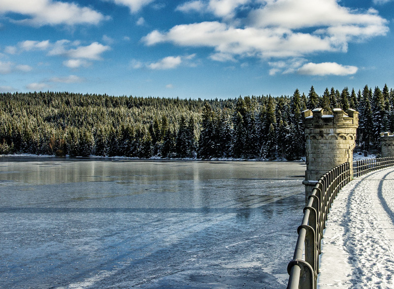
Monitoring and maintenance of water management infrastructure require knowledge of their reference state characterizing their design parameters. The reference state is derived primarily from the available project documentation, which is appropriately chosen to be converted to a digital model of the bottom terrain.
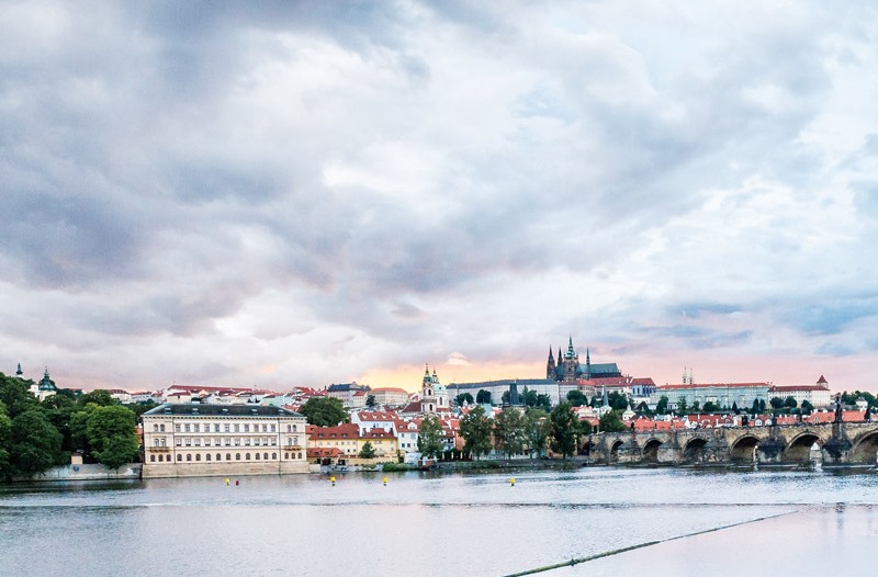
The first part the present study contains recommendations for the selection of representative observation period used for the calculation of average flow characteristics. This is the result of calculations based on time series of flows of the Vltava River in Prague with beginning in 1801.
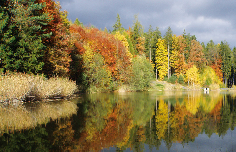
The article describes hydrological and hydrogeological conditions in a small part of the Lišanský stream catchment near Rakovník. Natural conditions of this area have been influenced by human activity from the 15th century.
The article deals with the assessment of the hydrological balance in a monthly time step in the territory of the Czech Republic, which was divided into 133 sub-basins for the period 1981–2015.
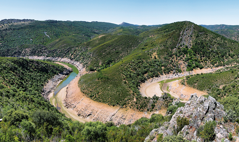
The aim of the study is the regionalization of the Czech Republic with respect to drought characteristics in individual catchments.
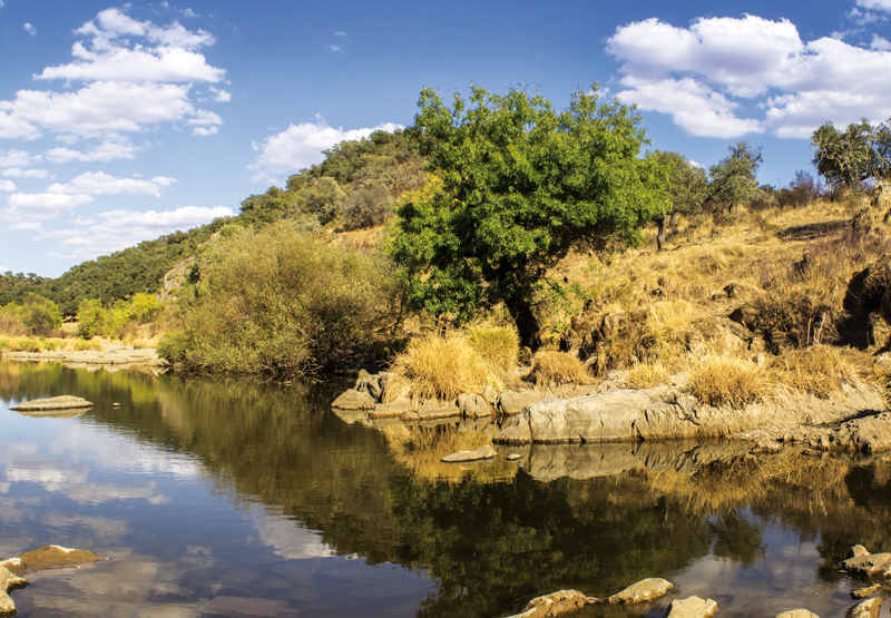
Exist tools for water balance, time series of water abstractions and their season variability, difference between permitted and real abstractions and impact of drought in 2015 were analysed and assessed in subtask Impact of Drought on Water Use Assessment.
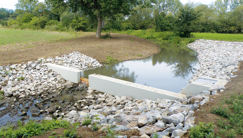
The effect of nature-related measures on the water balance was modeled in the Trkmanka basin. The basin is located in the Moravia, south-east region of the Czech Republic.