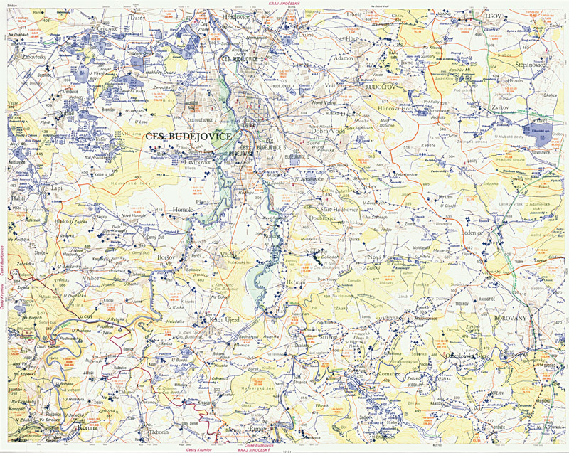
The National Spatial Data Infrastructure and the Reflection on the expected Role of Cartography and GIS Products provided by the T. G. Masaryk Water Research Institute, p.r.i.
The article shows the case of the best practice in the interdisciplinary management of the Spatial Data Set within River Network Section Model based on excellent cooperation of T. G. Masaryk Water Research Institute, p.r.i., with the Czech Office for Surveying, Mapping and Cadastre and the Czech Hydro-meteorological Institute.
