
From a drop to energy: assessing the hydropower potential of watercourses using results from the “Pico-Hydropower” project
The growing demand for decentralized renewable energy sources has sparked renewed interest in harnessing the hydropower potential of small watercourses. This paper presents a two-stage methodology developed within the Pico-Hydropower project (TA CR, No. TK04030223), aimed at identifying and evaluating suitable locations for micro-hydropower installations in the Czech Republic. The first stage involves a nationwide spatial assessment of theoretical hydro-power potential (HPP) across all fourth-order catchments, based on a combination of digital elevation models (DMR 5G), interpolated values of mean annual flow (Qa), and calculated average channel head (H). The resulting geodatabase enables prioritization of catchments with above-average potential and serves as input for more detailed analyses.

Interpolation of selected discharge rates in ungauged fourth-order catchments in the Otava basin
Knowledge of catchment runoff values is the key to a wide range of engineering and scientific applications. However, direct measurements in the scope of all fourth-order catchments in the Czech Republic are not realistic. Standard methods for estimating these parameters are local regression models, rainfall-runoff models, or other interpolation techniques. Regression models provide reliable results, but the derivation of local regression equations is demanding on the amount of input and reference data. Rainfall-runoff models have their application in design activities at a local scale. Their application in the Czech Republic is not trivial and requires knowledge of precipitation distribution. Interpolation techniques provide a fast but often less reliable approach. Most of these interpolations are not primarily intended for hydrological applications; the exception is the Top-Kriging method.
Comparison of the quality of thalweg lines extracted from data of DMR 4G, DMR 5G and its derivatives
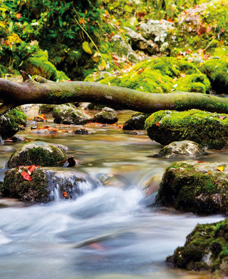
Determining the gradient of watercourses in the case of local applications is a common problem, which is most often dealt with by geodetic surveying. However, determining the gradient of all watercourses in the Czech Republic is a challenge. The use of geodetic methods on such a scale is usually unrealistic. Therefore, it is necessary to choose a different approach, such as the extraction of the gradient lines from other already existing elevation data. The DMR 4G and DMR 5G are elevation models currently available for the Czech Republic. For the extraction of gradient lines, it is necessary to create a digital terrain model (DTM) from the available datasets. Various interpolation methods are used for this. But which of the available interpolation methods is the most suitable? What role does the size of spatial resolution play in the quality of altimetry representation and subsequent sizes of the stored DTMs? To find answers to these questions, we chose four study sites (fourth order catchments) in the Otava river basin. Eight different DTMs were then created at each site, which were then compared. The results show that choice of raster size has a significantly greater influence on the resulting quality of the gradient lines than the choice of interpolation method in the case of DTM creation from DMR 5G data. DTM from DMR 4G data gives worse results than from DMR 5G at the same raster resolution.

Development of the RainWaterManager software tool
Rainwater management is currently one of the frequently discussed topics in the further territorial development of towns and municipalities. The same question is also addressed in the context of climate change and its effect on already existing urban areas. Currently, the most common solution for the disposal of rainwater is its drainage using sewage systems. In connection with climate change, this concept of rainwater management is beginning to show its disadvantages. Rainwater is quickly drained away, which negatively affects moisture conditions in the urban landscape. The consequence of this is its drying and overheating. Another disadvantage is overloading of sewer networks during extreme rainfall events. The solution to eliminate these disadvantages can be an effort to retain the precipitation at the point of impact. However, this concept brings with it a number of questions: What measures can be used for this purpose? What are the spatial requirements for creating these measures? What is the price of their implementation? Can local government demand implementation of these measures by private investors? the answers to these questions are often not trivial and depend on the specific circumstances and the number of assessed criteria. Some help in this regard comes from the RainWaterManager software. This tool helps to choose appropriate measures for rainwater management, to estimate its effectiveness, spatial and economic requirements, and shows how their implementation can be promoted.
Identification of non-point agricultural pollution using thermographic imaging
Water quality monitoring has a much shorter history in the Czech Republic (CR) than water quantity monitoring. Yet the quality of water resources is crucial for society, industry and agriculture.
Mathematical estimation of watercourse bathymetry – Bathy_supp software
Topografické údaje hrají klíčovou roli v otázce přesného hydrodynamického modelování povodňových událostí. Často je vyžadován přesný digitální model terénu (DMT), který obsahuje popis říční batymetrie. DMT může být získán z různých zdrojů dat, jako jsou pozemní měření nebo metody dálkového průzkumu země.

Bathymetric measurement for determination of morphology of water reservoir bottom
Information and communication technologies are currently one of the decisive factors influencing economic and social development. Similar developments and trends in relation to information and communication technologies can be observed in the field of water management.