Groundwater abstraction noticeably reduces the flow of some watercourses during the dry season
The paper highlights the fact that some significant watercourses dry up during periods of minimal flows due to groundwater abstraction. It provides a summary of the most affected significant watercourses in the Czech Republic. Large concentrated groundwater abstraction has a considerable impact on small and medium-sized watercourses. To select the most significant effects of abstraction on stream flows, we used the ratio of abstraction to 355-day flows from 1931–1960. Watercourses exceeding 30 % were selected. In half of the selected cases the following relationship was confirmed: the 355-day flow from 1931–1960, reduced by the abstraction rate, is approximately equal to the 355-day flow from 1991–2020. The cases where this relationship does not apply can be explained by changes in abstraction volumes, declining groundwater levels and flows in the wider area due to groundwater collection and the use of static groundwater reserves. The effect of climate change is unlikely to be present in the baseflow in the cases studied. Our analysis identified 13 cases where groundwater abstraction is severely affecting the flow of significant watercourses. In about half of these cases, there is an alternative source of water that should be used when the flow of the watercourse is at a minimum. Another option to protect water resources is to apply the minimum groundwater level or minimum residual flow under the Water Act.
Drought warning system and local threshold limits
Droughts and floods are extreme hydrological phenomena that are currently increasing in frequency due to the growing impact of climate change, and can have significant effects on our lives. Within the “PERUN” research project, an assessment of drought conditions and their development in the Czech Republic is being developed, along with the innovation of the warning system by the Czech Hydrometeorological Institute (CHMI). Drought is a natural phenomenon characterized by a gradual onset, long duration, and low dynamics, which requires a specific approach. The amendment to the Water Act introduces the obligation of regular reporting on drought and the establishment of a predictive service to be conducted by CHMI. Tools are being developed for long-term prediction of water resource conditions and a methodology for drought and water scarcity management plans. These plans aim to ensure water supply, protect the environment, and minimize the economic impacts. The decision-making body for issuing measures based on the drought plans is the Drought Commission, which operates at the regional level. The warning information is available on the HAMR web portal, which also displays local threshold limits for individual water resources.
Will summer flows in watercourses be a half lower by 2060?
The increase in potential evapotranspiration due to warming is quite often used as an indicator of ongoing and predicted changes in the hydrological balance. However, without assessing its effect in basins with different precipitation regimes, it is not correct to consider a change in potential evapo-transpiration as an increase in actual evapotranspiration or a decrease in runoff.
Estimation of natural groundwater resources in hydrogeological zones in the Czech Republic under changing climatic conditions 1981–2019
In the Czech Republic, hydrogeological zones were defined as early as 1965 as a part of the regional hydrogeological survey. A hydrogeological zone (HGZ) is defined as a unit with similar hydrogeological conditions, defined tectonically and geologically, in whose territory a certain type of aquifer and groundwater circulation prevails. The boundaries of HGZs have been modified over time and their numerical hydrogeological characteristics have been determined by various methods; one of the basic characteristics is the amount of natural groundwater resources. Natural resources are the dynamic component of groundwater and are expressed in m3.s-1. They are determined by the recharge of water to the aquifer system (precipitation, groundwater overflows from other aquifers, natural infiltration of surface water, etc.). If the HGZ is hydrogeologically closed, the long-term average of its recharge from precipitation and the long-term average of baseflow can be used as an estimate of the natural groundwater resource. In the “Groundwater Rebalance Project”, estimates of natural groundwater resources in 152 hydrogeological zones in the Czech Republic were processed and are presented in the report [1]. The natural resources were determined by several different methods using data from 1971–2010 and 2000–2010.
Preservation of drinking water demand from water reservoirs in climate change conditions
This study presents interim results of an evaluation of a potential climate change impact on the preservation of drinking water demand provided by water reservoirs in the timeframe of the year 2050. Hydrological and water sources and demands balance procedures have been applied, including modelling of the storage ability of water resources and water supply systems.
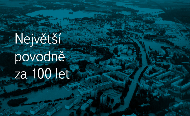
The biggest floods in 100 years
Tento příspěvek je komplikací největších povodní v České republice, které se udály za uplynulých sto let, a přináší popisy těchto jednotlivých katastrof.
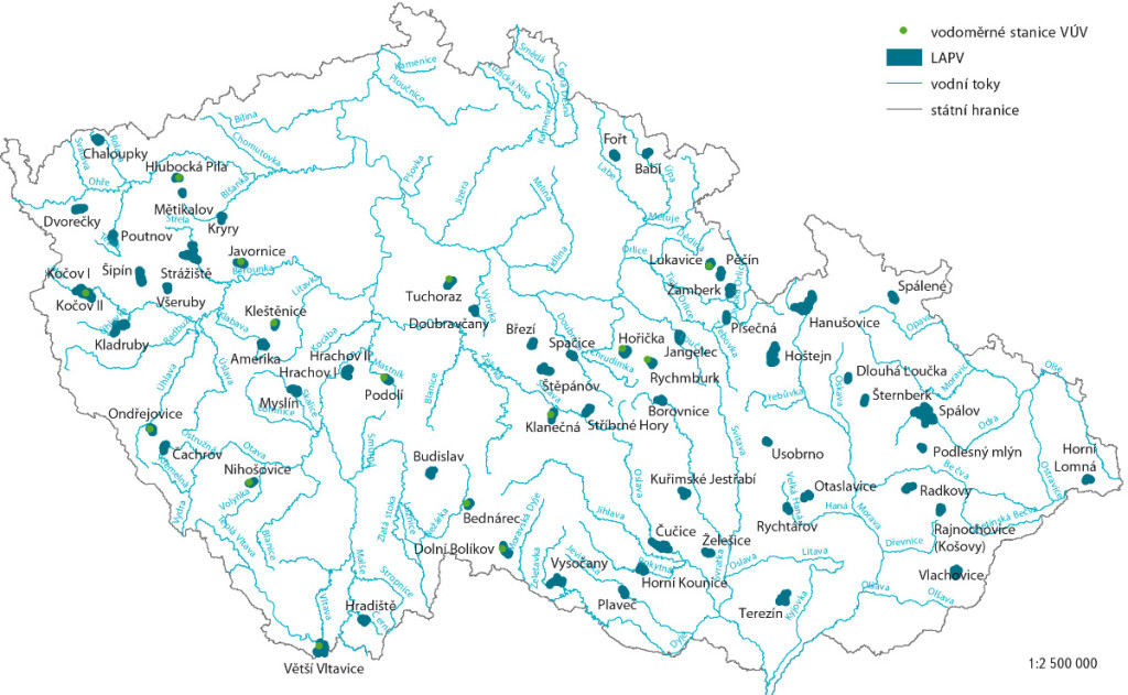
Possible compensation of negative climate change impacts using the localities for potential accumulation of surface water
The list of localities potentially suitable for accumulation of surface water (LASW) exists in the Czech Republic from the beginning of 20th century.


